





PLANNING: CHIRRP: ENGAGEMENT AND MITIGATION FOR BUILDING RESILIENCE AGAINST CASCADING EVENTS IN PUERTO RICO
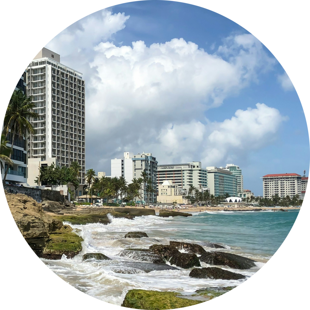
The overarching goal of this planning project is to lay the groundwork for collaboratively developing a set of fundamental research questions and establishing long-term collaboration in three communities in Puerto Rico to shape and account for the effective investment of federal and local resources. It advances the science, theory, and practice necessary to equitably co-produce project research questions and solutions, and explore dynamic interactions and couplings among natural and social processes affecting the resilience of Puerto Rican communities. First, it contributes to co-production literature by empirically categorizing differing perspectives on how participants view its processes and outcomes. Second, it contributes to Earth system science literature by assessing how sequential hazards may drive one another and how the consequences of cascading hazards may scale temporally and spatially. Third, it extends knowledge on how co-production outcomes may relate to changes in social capital and impact federal and territorial policies and guidance.

DISES: ABATING MOBILITY EQUITY GAPS INDUCED BY NUISANCE FLOODING IN UNDERSERVED COMMUNITIES
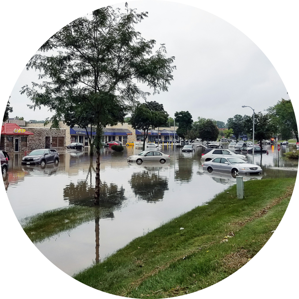
The overarching goal of this project is to reduce the
vulnerability of underserved communities to the social and environmental
impacts of urban nuisance flood events and develop and implement a
science-informed, community-based solution in underserved communities to
ameliorate equity discrepancies resulting from the impacts of nuisance
flooding. This is achieved through three research activities co-produced in
close collaboration with nuisance flood-prone communities in Philadelphia, PA.
First, the spatiotemporal extent of nuisance flood risk is identified for a
range of storm events. Second, novel strategies are identified to reduce the
mobility barriers and disparities induced by urban nuisance flooding in these
communities. Third, a science-based, community-centered interactive strategic
planning approach is constructed, drawing on cross-disciplinary science to
achieve equitable adaptation to the evolving risk of nuisance flooding. The
research activities incorporate equity into urban nuisance flood mitigation
strategies by analyzing the socio-environmental system comprising the two
elements of human mobility and nuisance flood, which interact through the
built-environment parameters. The outcomes add important nuance to knowledge on
urban mobility by focusing on the impacts of an increasingly common
environmental hazard.

RAPID: UNDERSTANDING FREIGHT FLOW ADAPTATIONS AND SUPPLY CHAIN LOGISTICS IMPACTS OF THE FRANCIS SCOTT KEY BRIDGE COLLAPSE

Critical, perishable freight data is needed to advance fundamental understanding of complex, interacting multi-modal systems and transient post-disruption behaviors across local, regional, and global scales. Example data types include: the number of vessels waiting offshore, average time-to-berth, gantry crane efficiency, business volume, truck traffic on key corridors, truck delays at ports, ground access travel time, number of rail cars sidelined, and rail hub closures or fill rates. Combined with analytical techniques (e.g., Bayesian networks and other data-driven methods, graph theoretic models, network flow analysis, spatial-temporal analyses, stochastic modeling, systems dynamics, simulation), this project: (1) facilitates a deeper understanding of disruption and recovery dynamics; (2) unravels understanding of complex interactions from immediate consequences and subsequent cascading effects within intermodal transportation networks; (3) expands theoretical frameworks concerning disruption propagation and the formulation of effective prevention strategies; and (4) informs the development of more resilient and adaptive freight transportation systems. These outcomes can play an important role in supporting decision-makers in building back better.

CIVIC-PG TRACK B: ADVANCING COMMUNITY-CENTERED, EQUITABLE, AND SUSTAINABLE SOLUTIONS (ACCESS) FOR WALKING, BIKING, AND MICROMOBILITY INFRASTRUCTURE
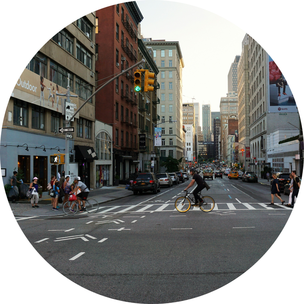
Walking, biking, and micromobility infrastructure (e.g., sidewalks, curb ramps, bicycle lanes, accessible pedestrian signals) are critical for improving transportation equity and providing access to essential destinations to people of diverse demographic and socioeconomic status. They are particularly important for community members who are underserved by the car-centric transportation culture. However, the communication channel for voicing infrastructure needs is not always straightforward. The main challenge is the lack of data (e.g., mobility, accessibility, and safety data for identifying issues and building consensus), tools, and processes to support effective and efficient communication of infrastructure needs in both ways. Linguistic barriers (non-English speakers), low technological or professional literacy (unaware of or unable to articulate the need clearly), and lack of trust add additional difficulties in enabling the community of broad participation. The research team at George Mason University will integrate technological solutions in transportation data analytics, safety, interactive geographic interface, and multilinguistic generative AI with strong leadership from community partners to support effective communication and board participation of community members in the biking and pedestrian infrastructure planning process. The research team will work with various stakeholders to refine the research plan in the planning phase of this project. The new tools and processes help to remove various barriers to effective communication and develop efficient consensus-building mechanisms among the three types of stakeholders: agencies, users, and advocacy groups in the civic process.

SNUFF IT OUT: EXTINGUISHING THE DISPARITY OF ACCESS TO SHELTERS FOR DISADVANTAGED COMMUNITIES IN WILDFIRE-PRONE AREAS

This Disaster Resilience Research Grant project develops a science-informed community-based solution for disadvantaged communities to augment equity discrepancies and community resilience to the devasting impacts of the ongoing challenge for residents of wildfire-prone areas. It fulfills three objectives: (i) it quantifies disparities in shelter access between disadvantaged and advantaged communities, (ii) it optimizes access-related equity through short- and long-term wildfire preparedness strategies, and (iii) it develops a science-based community-centered interactive strategic planning platform for public officials and community members. This is exercised in close collaboration with our community partners in Lake County, California, where 60% of the land has burned between 2015 and 2020, possesses key characteristics of an at-risk community, and is home to a significant population of underserved residents, including indigenous people. The potential benefit to society from the researched project is improving the resilience of disadvantaged communities and equipping the community, emergency management, and emergency responders with the knowledge and science-based tools required to make informed decisions and decrease the escapable repercussions on disadvantaged communities.

SCC-PG: REDUCING THE VULNERABILITY OF DISADVANTAGED COMMUNITIES TO THE IMPACTS OF CASCADING HAZARDS UNDER A CHANGING CLIMATE
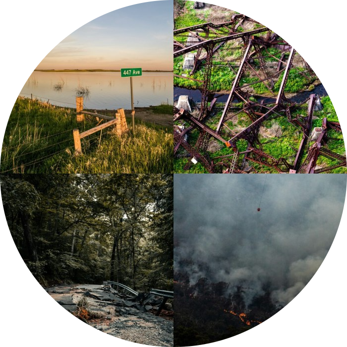
Cascading hazards place disadvantaged communities at risk for disastrous outcomes, which are projected to worsen with climate variability and change. This project supports a multidisciplinary planning effort toward mitigating the impacts of cascading hazards from social science, climate, engineering, and decision-making perspectives. This project provides a capacity-building opportunity to better assess and quantify how the sequence of drought, wildfires, landslides, and flooding may drive one another and how the consequences of these cascading hazards may scale in both time and space. This project will provide insights into: (1) the science of cascading hazards and their tempo-spatial characteristics and impacts in a changing climate, (2) social and physical vulnerability in disadvantaged communities against the risk of cascading hazards, as opposed to a single hazard, and (3) an efficient strategy to communicate the risks of cascading hazards, which are inherently different in their devastation and scale. The project will also seek to build the capacity for advancing crisis communications by demonstrating how diverse sources of data (of disparate time scales, dimensionalities, and noise levels) can be integrated to improve decision-making and community engagement in remote and disconnected environments. The project involves collaboration with California Office of Emergency Services (CalOES) and will focus on Lake County, CA, a disadvantaged community with dwindling resources and growing multi-hazard threats. While applied to a sequence of drought, wildfires, landslides, and flooding, this framework is directly translatable to any set of cascading hazards and will advance the state-of-knowledge to go beyond hazard evaluation that typically focuses on a single event.
NETWORK ECONOMETRICS AND COMPLEMENTARY AND CPMPETITIVE LINKS
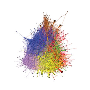
Networks have become a ubiquitous tool in understanding both natural and engineered systems, including, climate systems, physiological systems, civil infrastructure systems, social interactions, and biochemical reactions. The current project introduces concepts, theories, and methods dealing with network econometrics to gain a deeper understanding of how the spatial components interact in a complex network. It introduces distinctive network weight matrices to extract the existing spatial dependency between links. This novice project has been tested on highway networks, but has further applications in models of physical flow and in social networks where links or nodes may be either competitive or complementary with each other The mixed-methods design and spatial integrative framework of the project will offer pragmatic advantages for identifying integrated policy solutions across regions to discern human mobility and behavior.
CONNECTED COMMUNITIES IN THE ERA OF ELECTRIFICATION AND AUTONOMY
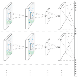
The convergence of sensory and communication technologies with data collection efforts has enabled us to collect travel diaries over a longer period. Geo-location data gathered by smartphone applications have the potential to monitor both the activity location and the activity time of individuals. Capturing human mobility patterns and space activities reveals social relationships between individuals, and facilitates defining connected communities. This project answers: “How can we cluster individuals via the similarities and dissimilarities of time and space activities and detect connected communities?” “How well does a detected connected community represent the lifestyle of individuals in the same cluster?” and “How much do we know about the individuals in the same cluster, to the extent that possible, that meaningful social relationships could be created?”
REDUCING THE VULNERABILITY OF DISADVANTAGED COMMUNITIES TO CASCADING HAZARDS
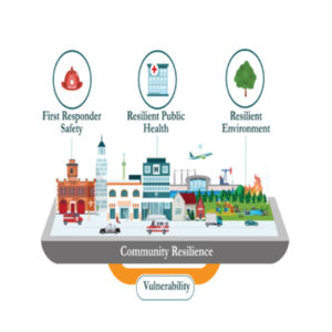
The average annual loss in the U.S. to natural hazards between 2016–2020 was approximately $121 billion, with records clearly showing a rising trend in billion-dollar disaster events. Notably, there has been an unprecedented increase in the frequency and severity of wildfires, with 2020 marked as the most active wildfire year across the western US. While direct impacts from wildfires are devastating as singular events, the legacy of wildfires may last long after the flames have been extinguished. Following wildfires, cascading hazards such as landslides, debris flow, and flooding may occur, resulting in a catastrophic ripple effect. A pertinent example is the deadliest debris flow events in California’s history following the December 2017 California fires and extreme rainfall over the burned area. This multidisciplinary project seeks to reduce the vulnerability of disadvantaged communities to the impacts of wildfire-related cascading hazards under a changing climate.
ACCESS, EQUITY, AND JUSTICE IN TRANSPORT SERVICES
Throughout the 20th century, minority groups and low-income populations have fought for equal access to education, jobs, healthcare, and public transit. In 1955, African Americans in Montgomery, Alabama began The Bus Boycott, which ended up going before the Supreme Court and integrating transport across the United States. The Bus Boycott was the first ripple in a wave that led to the signing of the Civil Rights Act in 1964. Though circumstances have changed, gaps in mobility options and access persist. In 2015, for example, 19.7% of African American households nationally had no car, while the comparable number for White households was 6.5%. This research assesses access to transport services and access to public services by transport systems for all members of disadvantaged groups through the lens of equitable and justifiable transport systems.
EMERGING LOGISTICS TECHNOLOGY IN THE ERA OF MOBILITY-AS-A-SERVICE

Urban goods distribution is increasingly under pressure from the expanding volume of online purchases that surged due to the pandemic and growing customer expectations on delivery performance. In this highly competitive setting, the ubiquity of communication technologies, accessibility of information, flexibility of resources in time and space, and an open-source revolution has facilitated the evolution of crowd-shipping initiatives. Crowd-shipping is an innovative delivery model using digital platforms to match the demand for shipments with supply using excess transport capacity and drivers from the crowd. This sharing economy delivery concept has attracted growing attention to address the pressing challenges of urban goods deliveries, and has fostered the creation of new enterprises and business models in the logistics sector. This project provides several perspectives on the behavioral and managerial platform performance from the digital space of the platform into real-world operations.
THE NEW TRANSPORT LANDSCAPE AND THE FUTURE OF CITIES

Research on electrification, autonomy, and mobility-as-a-service, with particular emphasis on technology, is gaining momentum in the realms of transport and logistics. Little is known, however, about the behavioral, operational performance, resilience, and sustainability of the systems and how they impact urban form and city development. By removing the burden of vehicle ownership, city residents have more disposable income to pay for rent in metropolitan cities and benefit from urban amenities. This raises the value of cities. On the flip side, autonomy and mobility-as-a-service makes travel between urban and exurban areas easier and faster. This means boosting access, which increases sprawl and separation between home and work. This project explores travel behavior and urban design in the era of electrification, autonomy, and mobility-as-a-service.
